










Walking in Val d’Orcia and on Monte Amiata
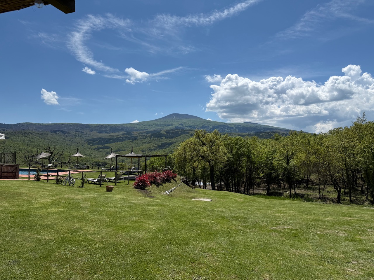
Some landscapes invite you to walk through them; others draw you into the woods. Around Val d’Orcia and Monte Amiata, start with the kind of day you want: a circular walk, a full pilgrimage stage or a more technical hike. They call for different levels of preparation.
Here are three options to compare. Once you have chosen your walk, open the map and locate the starting point you will need to reach from the agriturismo. Arrange your return before setting off too.
Choose the right walk for you
| Route | Planning | Provider’s difficulty information | Indicative walking time |
|---|---|---|---|
| Ermicciolo–Capovetra circuit | Start and finish around Vivo d’Orcia | Moderate; total ascent 484 m | 3 hr 50 min |
| Francigena: San Quirico–Radicofani | Linear stage; arrange your return | Very demanding; total ascent 908 m | 7 hr 15 min |
| Ermicciolo–Abbadia San Salvatore | Linear route; arrange your return | Difficulty 5/5, technical rating 4/5 on the provider’s scale | 4 hr 5 min |
Treat the times as a starting point, adding breaks and a margin for your own pace and the day’s conditions. For difficulty, we have kept the providers’ different grading systems rather than converting them into CAI categories.
A circuit through the woods around Vivo
The Ermicciolo–Capovetra circuit explores the Parco del Vivo, with woodland and traces of the area’s water-powered heritage. The provider lists access from Vivo d’Orcia or a car park on the road towards Seggiano: use its map to choose your starting point.
A circuit is worth considering if you want to finish where you began. Moderate does not mean flat.
A full day on the Via Francigena
Stage 36 links San Quirico d’Orcia to Radicofani via Vignoni Alto and Bagno Vignoni. The official description notes water crossings and a demanding final climb. This is not simply a stroll between villages, particularly after heavy rain.
Would you prefer a shorter walk? Choose a suitable section before setting off, with permitted access points and your return already arranged. A qualified guide can help you find the right option without relying on improvised shortcuts.
Open the official stage and map · Stage 36 technical information
Towards Abbadia: a more technical option
This route runs from the Ermicciolo church to the Mining Museum in Abbadia San Salvatore. The provider highlights technical sections and a high difficulty rating. Consider it only with appropriate experience, not as an easy alternative to the circuit.
Arrange your return before setting off. Reaching the museum does not include admission; check opening times and visiting arrangements separately.
Maps and preparation
Use the providers’ maps rather than an approximate distance from our property. The Francigena portal offers KML tracks: check that your chosen app can read them and make them available offline. GPS helps with navigation; it does not establish whether a crossing is safe.
Check the weather, closures and local conditions. Wear suitable footwear and carry water and protection from sun or rain. Snow, ice, thunderstorms or swollen streams are reasons to change your plans. Do not attempt a water crossing you are unsure about.
Return to Terre di Giorgio
For us, hospitality brings together the landscape, farming and the table. Combine a day outdoors with time for our wines and cooking: another way to discover the land, without turning your holiday into a checklist.
For a gentler day, browse our guide to villages and places to visit. Explore what to eat in Val d’Orcia and our restaurant. When you book, we will confirm availability and experiences; travel to the trails and your return need to be arranged separately.
This guide draws on information from the organisations behind the routes. Before you set off, check their latest updates and maps, the weather and any closure notices, and choose a walk that suits your experience and fitness. Allow time for breaks and plan your return: it is all part of enjoying a day outdoors.